
Our Areas of Expertise

A comprehensive and multidisciplinary approach to address the challenges of your land, planning and territorial development projects.

01Boundary 02Land Division03 Co-ownership and division into volumes04Subdivisions05Urban Planning & Landscape06Project Management & VRD07Sports Engineering08Topography09 Implementation

Boundary

The land surveyor is the only professional authorized to carry out boundary surveys of private properties. This process involves legally establishing, through a joint inspection, the boundaries between neighboring properties and marking them on the ground. A true guarantee of legal security, boundary surveying helps prevent disputes and protects your land assets in the long term.

MISSIONS & INTERVENTIONS CLÉS :
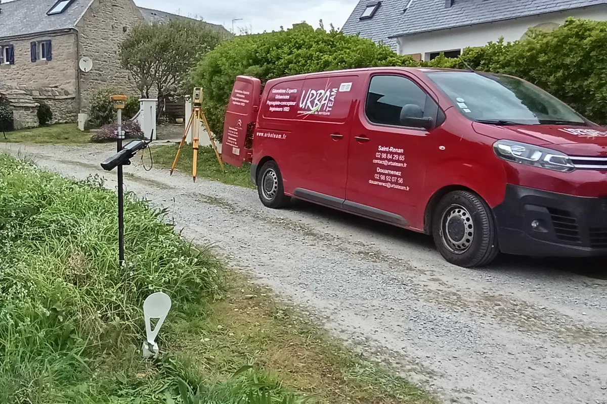
Document searchAnalysis of property titles, research in archives and land documents.
Adversarial debateSummoning of riparian owners and joint determination of the boundary.
Official report and marking of the boundaryDrafting of the official report of the joint boundary demarcation and marking of the boundary by placing markers on the ground.
Property boundary definedThe property boundary is legally defined after the joint boundary survey report is signed by all parties involved.
Boundary
URBATEAM // Boundary SAINT-RENAN & DOUARNENEZ

Land Division

The land surveyor assists you with all your land division projects, whether it involves subdividing a building plot, dividing a property (house, farmhouse, etc.), or subdividing agricultural or natural land. Each project undergoes a preliminary study to determine its feasibility and any necessary planning permissions, such as a prior declaration or a development permit.

MISSIONS & INTERVENTIONS CLÉS :
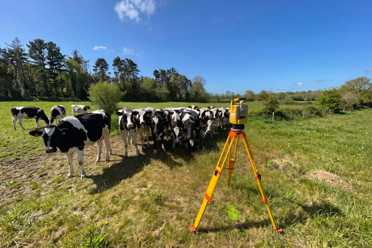
Study of the division projectAnalysis of the feasibility of the division with regard to the Local Urban Plan and current regulations.
Land divisionCreation of new plots in the land registry, whether it be building land, built property or agricultural land.
Survey documentPreparation of the surveying document for the creation and numbering of new cadastral parcels.
Urban planning & boundary marking Handling of urban planning formalities (Prior Declaration - DP or Development Permit - PA) and boundary marking of the new building plot or the ends of the division boundary depending on the nature of the project.
Land Division
URBATEAM // Land DivisionSAINT-RENAN & DOUARNENEZ

Co-ownership and division into volumes

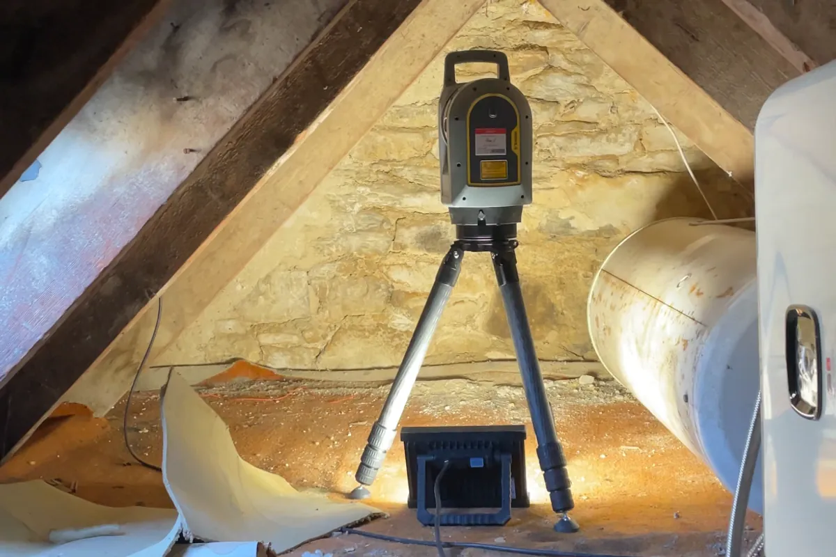
URBATEAM assists you in the creation and modification of co-ownerships, as well as in volumetric divisions. Thanks to 3D scanning, we produce high-precision surveys, co-ownership plans, descriptive statements of division, co-ownership regulations, calculations of share of charges, and all the documents necessary for the legal organization of your building.

MISSIONS & INTERVENTIONS CLÉS :
Conversion to condominium ownershipPreparation of condominium plans, descriptive statement of division (EDD), condominium regulations and calculation of the shares (thousandths) of charges.
Condominium modificationUpdating of plans, descriptive statement of division, condominium regulations and unit entitlements following works, divisions, meetings or sales of lots.
Division into volumesCreation or modification of volume divisions for complex real estate complexes, when co-ownership is not suitable.
3D Scanning DataHigh-precision 3D scanning surveys for the creation of building plans and all the technical documents required for your project.
 Co-ownership and division into volumes
URBATEAM // Co-ownership and division into volumesSAINT-RENAN & DOUARNENEZ

Subdivisions

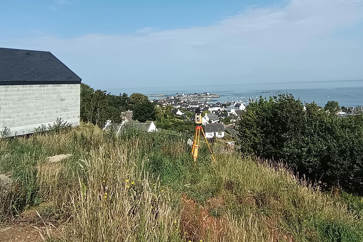
From design to final delivery, URBATEAM supports you in the creation of subdivisions and eco-neighborhoods. We handle the complete engineering of roads and utility networks (VRD).

MISSIONS & INTERVENTIONS CLÉS :
Development permitsAdministrative file for subdivision creations.
Design & LayoutSketches, master plans, and landscape integration.
Project managementSupervision of servicing and roadworks construction.
Subdivision boundary markingFinal staking and marking of each created lot.
Subdivisions
URBATEAM // SubdivisionsSAINT-RENAN & DOUARNENEZ

Urban Planning & Landscape

URBATEAM supports local authorities and private developers in the design of sustainable and harmonious living environments. Our approach combines strategic urban vision and landscape sensitivity to create meaningful spaces, integrating PLU requirements and sustainable development goals.

MISSIONS & INTERVENTIONS CLÉS :
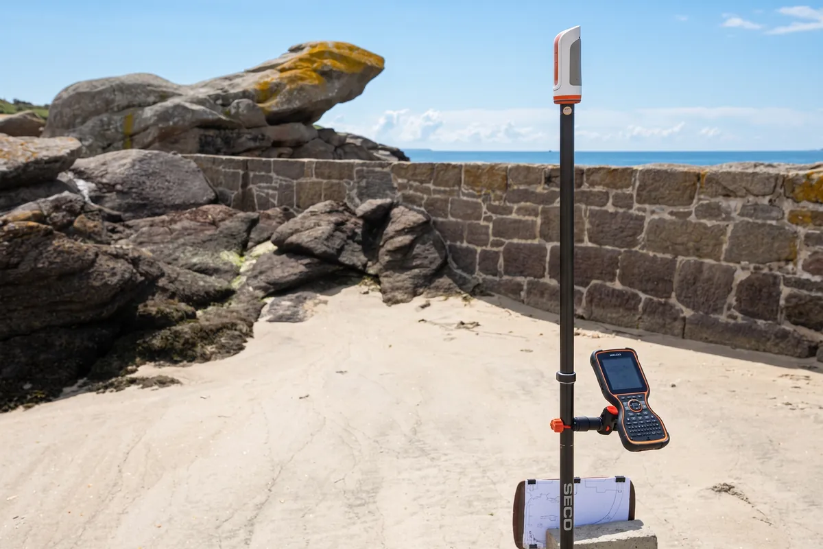
Feasibility studiesAnalysis of sites and development scenarios.
Eco-neighborhoods & ZACCreation of new sustainable city neighborhoods.
Public spacesDesign of squares, streets, parks, and paths.
Regulatory planningDevelopment permit files and master plans.
Urban Planning & Landscape
URBATEAM // Urban Planning & LandscapeSAINT-RENAN & DOUARNENEZ

Project Management & VRD

Our engineers and technicians design the essential technical infrastructure for project servicing. We favor innovative solutions for roads and utilities and sustainable water management.

MISSIONS & INTERVENTIONS CLÉS :
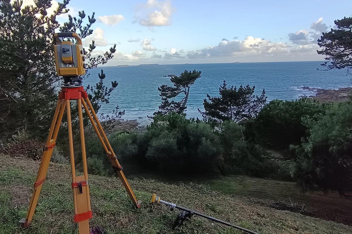
VRD Project ManagementDesign, procurement, and supervision of construction works.
Stormwater managementSizing of retention basins, swales, and eco-friendly techniques.
Servicing studiesCalculations of network slopes and road structural sizing.
Roundabout & Parking designTraffic flow optimization and public area design.
Project Management & VRD
URBATEAM // Project Management & VRDSAINT-RENAN & DOUARNENEZ

Sports Engineering

Specializing in sports equipment, URBATEAM designs high-performance installations meeting federation standards. We support clubs and town halls in creating modern complexes.

MISSIONS & INTERVENTIONS CLÉS :
Large game fieldsFootball and rugby fields in synthetic grass.
Athletics tracksTechnical tracks with approved synthetic coatings.
Local equipmentCity-stadiums, skateparks, and fitness trails.
Compliance & AuditingTechnical audits and regulatory standard updates.
Sports Engineering
URBATEAM // Sports EngineeringSAINT-RENAN & DOUARNENEZ

Topography

URBATEAM performs high-precision topographic surveys using state-of-the-art equipment (GPS, total station, and 3D scanner). Essential to any development or construction project, our surveys enable the creation of the topographic plans necessary for the design, monitoring, and execution of your projects.

MISSIONS & INTERVENTIONS CLÉS :
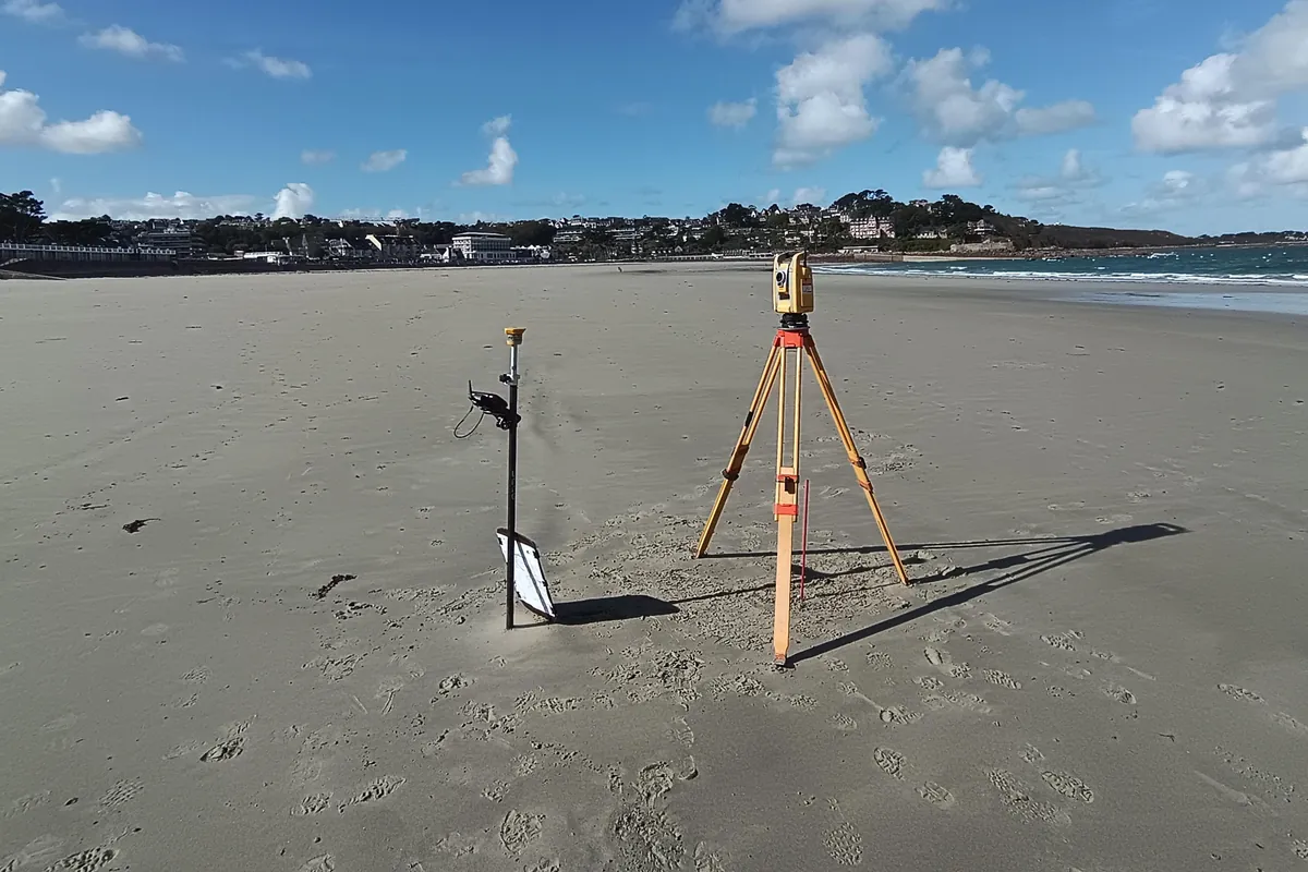
Topographic surveys Data acquisition in the field using total station, GPS and 3D scanner.
Topographic mapsEstablishment of site plans incorporating terrain elevations, buildings, networks and existing elements.
As-built drawingsSurveys after work and preparation of plans conforming to the work carried out.
Deliverables & digital dataDelivery of plans and digital files tailored to your project needs in DWG and PDF format.
Topography
URBATEAM // TopographySAINT-RENAN & DOUARNENEZ

Implementation

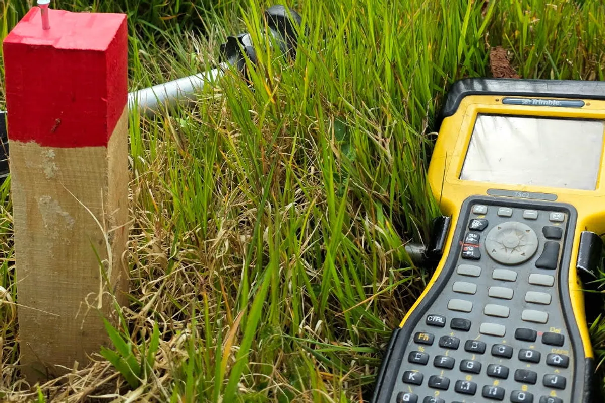
Site layout involves marking the exact location of your future building on the ground before work begins. Using the approved plans, the land surveyor precisely positions the axes, angles, and levels necessary for the project, ensuring that the site layout complies with planning permissions and property boundaries.
MISSIONS & INTERVENTIONS CLÉS :

Preparation of the implementation projectAnalysis of the plans submitted by the project manager or architect and preparation of the site plan.
Monitoring of the implantationControl of planned installations in relation to the site plan and property boundaries.
Site implementationSetting up stakes and markers to allow the mason to carry out the foundations according to the project.
Site plan and minutesPreparation of the site plan and the minutes certifying the work carried out.
 Implementation
URBATEAM // ImplementationSAINT-RENAN & DOUARNENEZ

A specific project?

Discover how our team can help you.

Contact us