
Topography
High-precision topographic surveys for all your development and construction projects.
Topography
High-precision topographic surveys for all your development and construction projects.
Demander un devisNotre Expertise en Topography
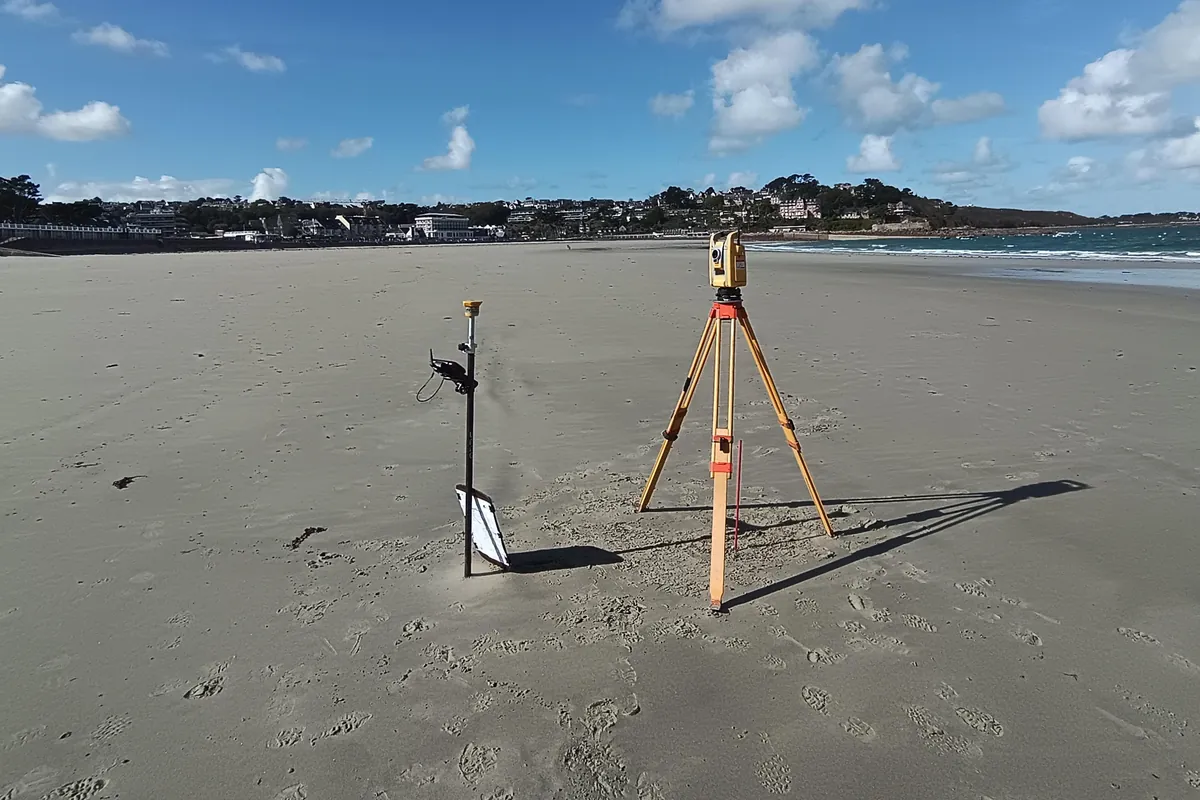
URBATEAM performs high-precision topographic surveys using state-of-the-art equipment (GPS, total station, and 3D scanner). Essential to any development or construction project, our surveys enable the creation of the topographic plans necessary for the design, monitoring, and execution of your projects.
Nos missions types
Topographic surveys
Data acquisition in the field using total station, GPS and 3D scanner.
Topographic maps
Establishment of site plans incorporating terrain elevations, buildings, networks and existing elements.
As-built drawings
Surveys after work and preparation of plans conforming to the work carried out.
Deliverables & digital data
Delivery of plans and digital files tailored to your project needs in DWG and PDF format.
Pourquoi choisir URBATEAM ?
Notre approche pluridisciplinaire nous permet d'appréhender chaque projet dans sa globalité. En tant que Géomètres-Experts, nous garantissons la sécurité juridique de vos fonciers tout en apportant une vision d'urbaniste et une rigueur d'ingénieur VRD.
Découvrir notre démarche qualitéUn projet en Topography ?
Nos experts basés à Saint-Renan et Douarnenez interviennent sur toute la Bretagne-Ouest pour vous conseiller.